


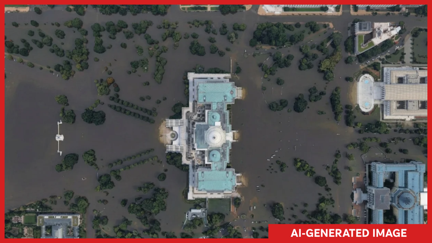
An AI-generated image showing multiple fires on and near Kharg Island, an Iranian island in the Persian Gulf that is home to a strategic oil terminal.Generated and annotated by NPR hide caption Google has unveiled a new feature that allows users to create AI-generated satellite images with the click of a button on its Google Earth platform.In its announcement of the new feature on Thursday, the company said it was designed to work with users' imaginations: "Just zoom in to a place in Google Earth on web (sic), tap 'create image,' and type whatever you want to see," Bryan Horowitz, a product manager wrote.But for experts and analysts who rely on Google's imagery to verify breaking news and atrocities in hard-to-reach parts of the world, the potential to create deepfake satellite imagery at the click of a button was horrifying.
NPR was able to easily generate images of Iran's Kharg Island on fire, and a flooded U.S.Capitol complex.
Both events, which have not happened, would constitute major news if they were real."I tried refugees at the Mexican border, a nuclear plant in Iran, a crash in Amsterdam, a hospital with a bomb crater in Gaza.Nothing was refused," Henk van Ess, an open-source researcher who first wrote about the potential damage the tool could cause, told NPR via text.Online, journalists and open-source investigators wondered aloud about Google's decision.
"Very curious how or if this idea was red teamed internally because the opportunities for abuse and disinfo are literally boundless," Evan Hill, an visual forensics investigator at the Washington Post wrote on X.Eyes in the skyAs the online world fills with AI-generated deepfakes and slop, satellite imagery has been a key tool for understanding what's real and what's not.Open-source investigators have used satellite images to verify events on the ground, and as reference for und...