


A 'super' El Nio is now super likely, leaving California bracing for impact
This is read by an automated voice.Please report any issues or inconsistencies here.
See more from the L.A.Times in Google Search.
Set us as preferred A “super” El Niño is now 95% likely to develop this year as the climate pattern gains dramatic strength in the Pacific Ocean — leaving officials across California and beyond bracing for a wet and potentially destructive winter.The National Oceanic and Atmospheric Administration’s Climate Prediction Center said Thursday that El Niño has strengthened in the past month, and there’s about a seven-in-10 chance it will be the strongest such pattern since 1950.Of the three other powerful El Niños on record during that span — in 1982-83, 1997-98 and 2015-16 — two brought above-average rain to Southern California.
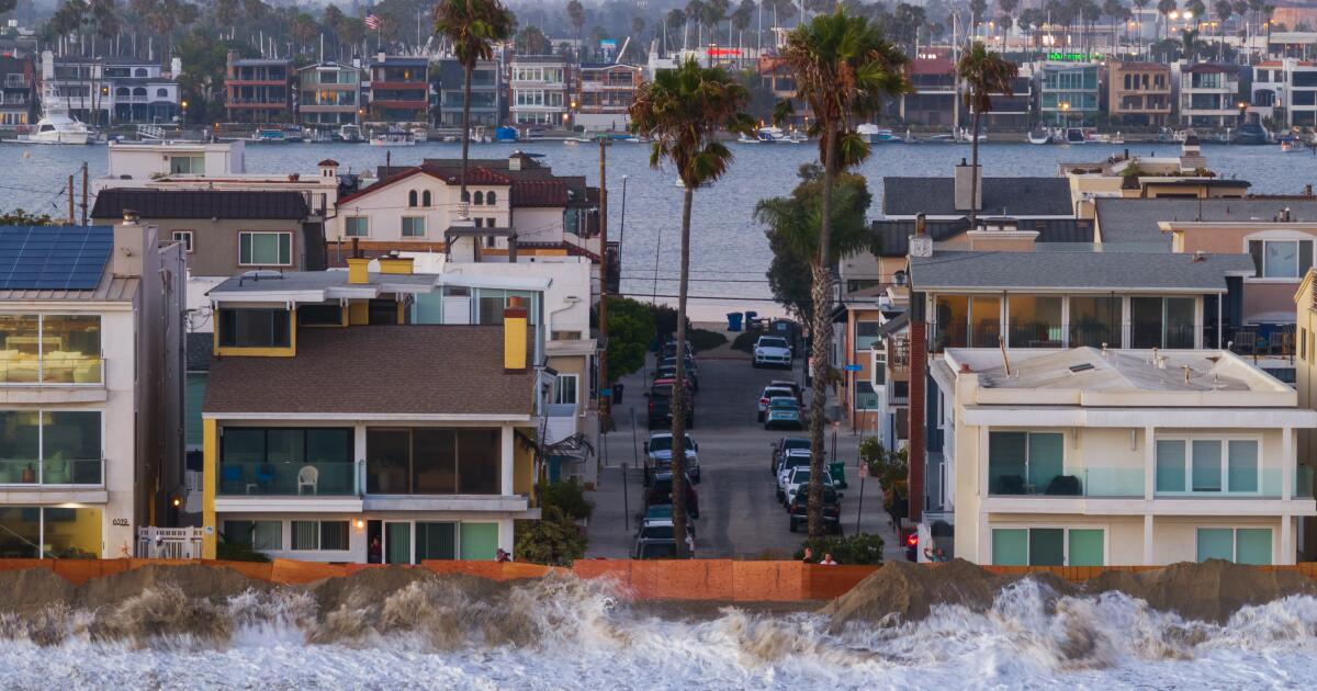
The 2015-16 El Niño, while very strong in the ocean, did not, though the pattern was blamed for record beach erosion along the California coast.El Niño is a climate pattern characterized by warmer ocean waters in the central and eastern tropical Pacific, coupled with changing atmospheric conditions, in which the typical east-to-west trade winds weaken or even reverse.That shift can put Southern California in the crosshairs of potentially potent tropical moisture, though the pattern’s effects vary by area.
California A strengthening El Niño could bring the highest sea levels ever recorded to the California coast this year, raising the risk of widespread and damaging flooding.In the modern historical record, past El Niños have never been warmer than 4.5 degrees above baseline.But there is now a 69% chance that this El Niño will reach or exceed that threshold in the tropical Pacific.
That “has never happened in our historical record dating back to 1950,” Michelle L’Heureux, the El Niño team lead for NOAA’s Climate Prediction Center, told The Times.The last record set was during the 1982-83 El Niño season, where the Relative Oceanic Niño Index was 4.32 degrees above baseli...