


Hurricane Polo is coming. Here's what it means for Southern California
This is read by an automated voice.Please report any issues or inconsistencies here.
See more from the L.A.Times in Google Search.
Set us as preferred Southern California’s beaches may be in for another round of dangerous, high surf and severe erosion soon thanks to a pair of hurricanes being fueled by warm Pacific waters.The hurricanes, Polo and Odalys, are not expected to make landfall in California.But forecasters said they could stir up rough seas and send swells toward the California coast, which already has been battered by big waves this summer.The weather could start to change for the region as early as Sunday, but the hurricanes’ effects are most likely to be noticeable Monday and Tuesday, said Mike Wofford, meteorologist with the National Weather Service in Oxnard.
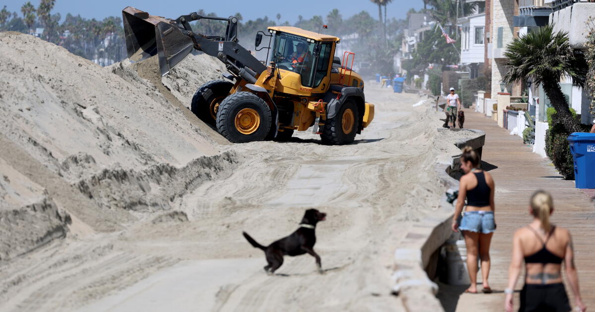
Uncertainties abound, he said, including how big the surf may get and how severe coastal flooding may be.Polo is located off southwestern Mexico and moving away from the coast, while Odalys is more than 1,200 miles off the southern tip of Baja California, according to the National Hurricane Center.California Strong surf across Southern California this weekend blasted through a seawall in Long Beach, caused a massive sinkhole at a celebrity’s Malibu home and damaged several Dana Point homes, among other issues.The swells generated by the hurricanes don’t appear to be tracking at an angle that ordinarily would have a significant impact on Southern California beaches, said Sam Zuber, meteorologist with the National Weather Service in San Diego.
Still, they coincide with bimonthly astronomical high tides, which means water levels already will be elevated, and erosion and flooding are more likely, she said.“We might get a little uptick in elevated surf,” she said.“But the tides are going to be so high that any little bump-up in the surf is going to help contribute to those impacts.”Zuber advised members of the public to stay away from beaches Sunday through Tuesday.Moistu...