


A super El Nio sets an ocean temperature record as aid groups prepare for the worst
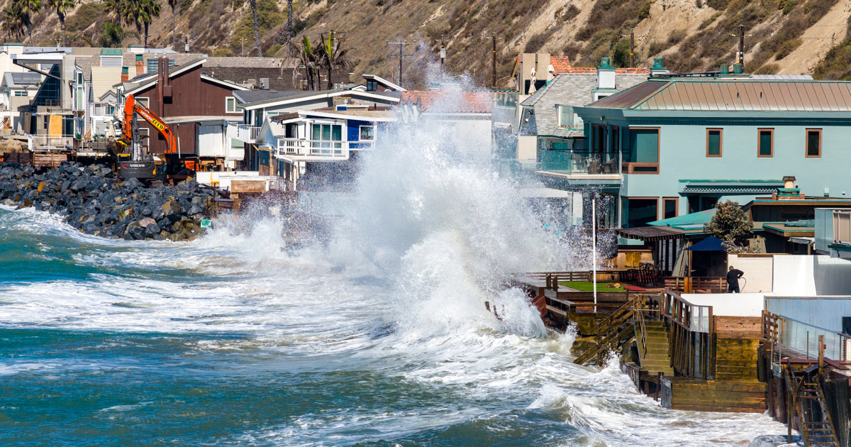
“Godzilla.” “Super.” “Very strong.” There’s no shortage of superlatives to describe the El Niño pattern brewing in the tropical Pacific Ocean, with grave consequences expected in many corners of the world.So far, data continues to back up the hype.
Sea surface temperatures have spiked to record levels in the tropical Pacific this fall, a sign that the pattern continues to strengthen.In the region where the El Niño trend is typically measured, temperatures are 6.1 degrees Fahrenheit higher than normal.
In its latest update, the National Oceanographic and Atmospheric Agency said the pattern was strengthening and that there was a 90% chance of a “very strong event” this fall and winter, with a 75% chance of becoming a historic event larger than any El Niño since 1950.The index data NOAA uses to characterize El Niño suggests this season’s event is the second-biggest anomaly on record for the months of July through September, even when the influence of global warming on temperatures is not factored into the equation.
“It feels like super El Niño is appropriate,” said Abby Frazier, a climatologist and professor of geography at Clark University.The children’s aid organization UNICEF on Tuesday said its analysis suggests hundreds of millions of children could be exposed to dangerous conditions as a result of the climate pattern, which raises the risk of intense precipitation in some areas and drought in others.
“With over 347 million children living in areas expected to experience drier or wetter conditions because of El Niño, we must act now to protect communities and children,” UNICEF executive director Catherine Russell said, adding that El Niño was expected to increase water shortages, malnutrition and disease outbreaks.00:46Southern California faces coastal erosion concerns00:0000:00The University of Chicago’s Climate Impacts Lab estimates that El Niño will raise global average temperatures enough to cause 451,000 excess-he...