


Stormy weather could hit key states on Election Day, forecasters predict
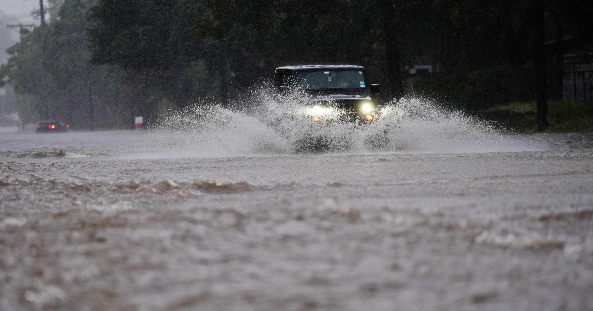
Stormy, wet weather is expected to hammer the central U.S.on Election Day, with the spiciest forecasts for states with some of the hottest races — including Texas, Kansas and Iowa.
Forecasters predict a line of thunderstorms stretching from Texas to Missouri on Tuesday, with dreary rainfall in upper Midwest states like Iowa and strong winds in plains states like Kansas.With attention focused on voter turnout in battleground states, the inclement weather could affect candidates’ ability to draw people to the polls.
“The middle part of the country is going to be probably the most active area on Election Day,” said Bob Oravec, a lead forecaster at the National Weather Service’s Weather Prediction Center.“Depending on how committed people are going to be to turning out for whatever candidate they’re going to vote for, the weather could have an impact.” Oravec said forecasting models for Tuesday morning show thunderstorms hammering north central Texas, a critical battleground in the state’s U.S.
Senate race, in which Democrat James Talarico faces Republican Ken Paxton.“The usual things of severe weather” were all possibilities, he said: ”high winds, large hail, maybe even tornadoes.” Although Tuesday is more than five days away, Oravec said the National Weather Service is confident that a storm system will sweep across the West Coast on Sunday then hit the central states Tuesday.“This is the kind of system that our numerical models handle well,” he said.
“The individual timing of a line of thunderstorms likely will change over the next few days.But the overall idea of the storm moving from west to east is pretty well set.”Other areas in the central U.S.
could face hazards, too.The Weather Prediction Center forecasts high winds in the Plains states, including in Kansas, Colorado and Nebraska.
“We’re looking at sustained winds around 20 to 30 miles an hour, and we could see some gusts over 40 to maybe even over 50 miles an hour,�...