


A 'super' El Nio is brewing. Experts fear historic dangers from extreme weather
This is read by an automated voice.Please report any issues or inconsistencies here.
See more from the L.A.Times in Google Search.
Set us as preferred Predicting the weather is always tricky, with even the most solid forecasts sometimes not living up to the hype.But over the last few months, the world’s weather experts have become more united in the belief that we were going to be hit by a new El Niño climate pattern, and the consensus of computer models suggests it will probably be a very strong one.
California is no stranger to the effects of El Niño, with the pattern associated with some of the state’s most memorable destructive winter seasons.Scientists are continuing to monitor conditions in the Pacific Ocean, which offer indications on how El Niño is progressing.But here is a look at where we stand now with the forecast:The National Oceanic and Atmospheric Administration’s Climate Prediction Center said Thursday that there’s a 97% chance El Niño will be either “strong” or “very strong” over a three-month period ending this December.
There’s an 81% chance it’ll be “very strong.”Colloquially, “very strong” El Niños have been referred to as “super” El Niños.California Strong El Niños significantly tilt the odds of expected weather outcomes during the winter.
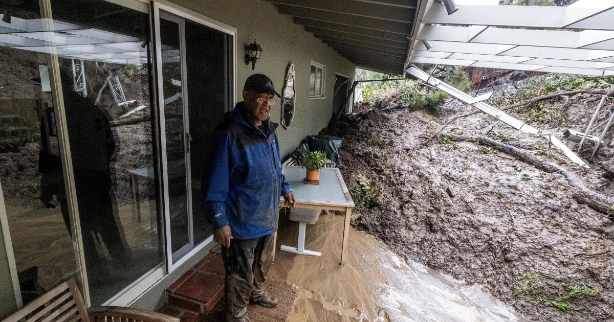
For Southern California, that means a higher chance of above-average rainfall, risking a winter of flash floods and landslides.Officials warn that the climate pattern — characterized by warmer water in the central and eastern tropical Pacific Ocean — will also increase the risk of heat waves on land and at sea, which are already being exacerbated by human-caused global warming.Authorities last month declared the arrival of El Niño, which typically lasts nine to 12 months.It will take time for the climate pattern to rev up.
California El Niño is typically associated with a higher chance of more rain in Southern California.But the powerful climate pa...