


'Some of the most miserably humid air on record' is possible this week
This is read by an automated voice.Please report any issues or inconsistencies here.
See more from the L.A.Times in Google Search.
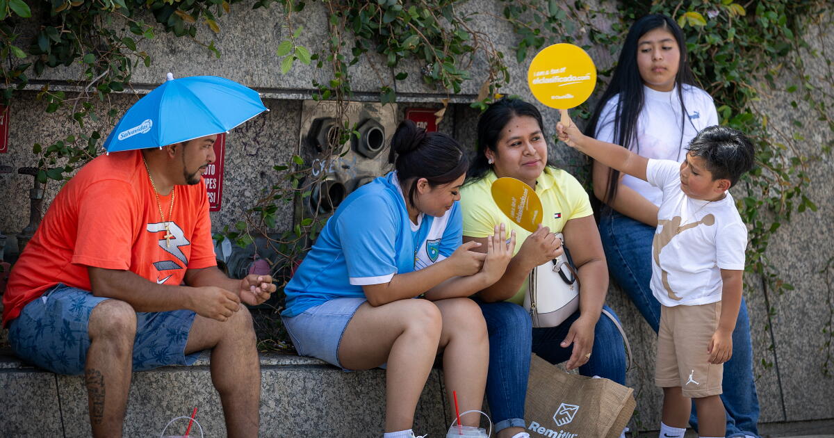
Set us as preferred Tropical Storm Marie is hundreds of miles southwest of Los Angeles County, but forecasters say the storm’s influence will be felt into the week.Residents across the county should anticipate persistent and miserable humidity, dangerous rip currents and extreme heat warnings in some areas.
“All of that tropical moisture is really coming from [Marie] leaning into our area,” and at the same time a ridge of high pressure will build into the region from the east over the next several days, said Kristan Lund, a meteorologist with the National Weather Service’s Oxnard office.Jumping into the ocean to escape the heat isn’t advised, Lund said, as dangerous rip currents with high surf and continued coastal flooding are forecast for south-facing beaches through Tuesday.
Temperatures will rise through Wednesday and so will the humidity.Highs will peak in the 90s over a wide swath of Los Angeles County, including some coastal areas, with low 100s in some areas.The western San Fernando Valley and Woodland Hills will reach 105 degrees, Lund said.
Coastal areas generally are expected to be in the 80s, “thanks to some offshore wind,” she added.“The still-lingering moisture from Marie, combined with the heat, will add to the heat discomfort and create added heat stress,” said David Gomberg, lead meteorologist at the National Weather Service in Los Angeles-Oxnard, which issued a heat advisory for Wednesday and Thursday and is on alert to ramp up the warnings if the week gets worse.Heat advisories include the Los Angeles County beaches and coastal valleys and the Santa Monica Mountains.
On Wednesday the heat advisories expand to the Ventura County coasts and valleys, the Santa Clarita Valley, and all of Santa Barbara and San Luis Obispo counties.“If the clouds don’t materialize, then Wednesday could be...